Log in
All resources
Create a design
194 Free Artworks of Maps Made In The 18th Century
atlantis magni tomus tertius (biblioteca comunale di trento)
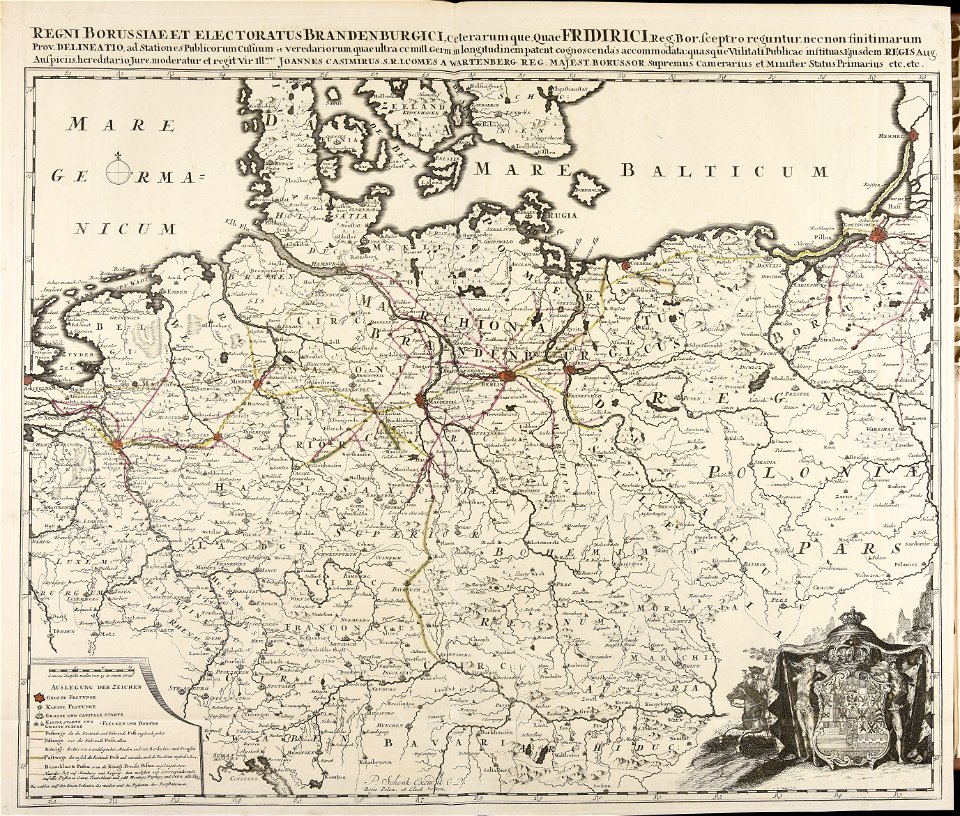
johann baptist homann
maps by pieter schenk (i)
atlantis magni tomus primus (biblioteca comunale di trento)
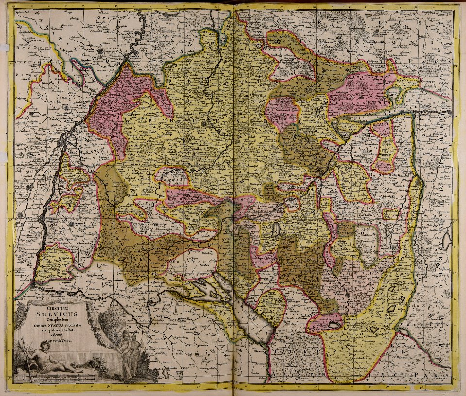
gerard valck
atlantis magni tomus quintus (biblioteca comunale di trento)
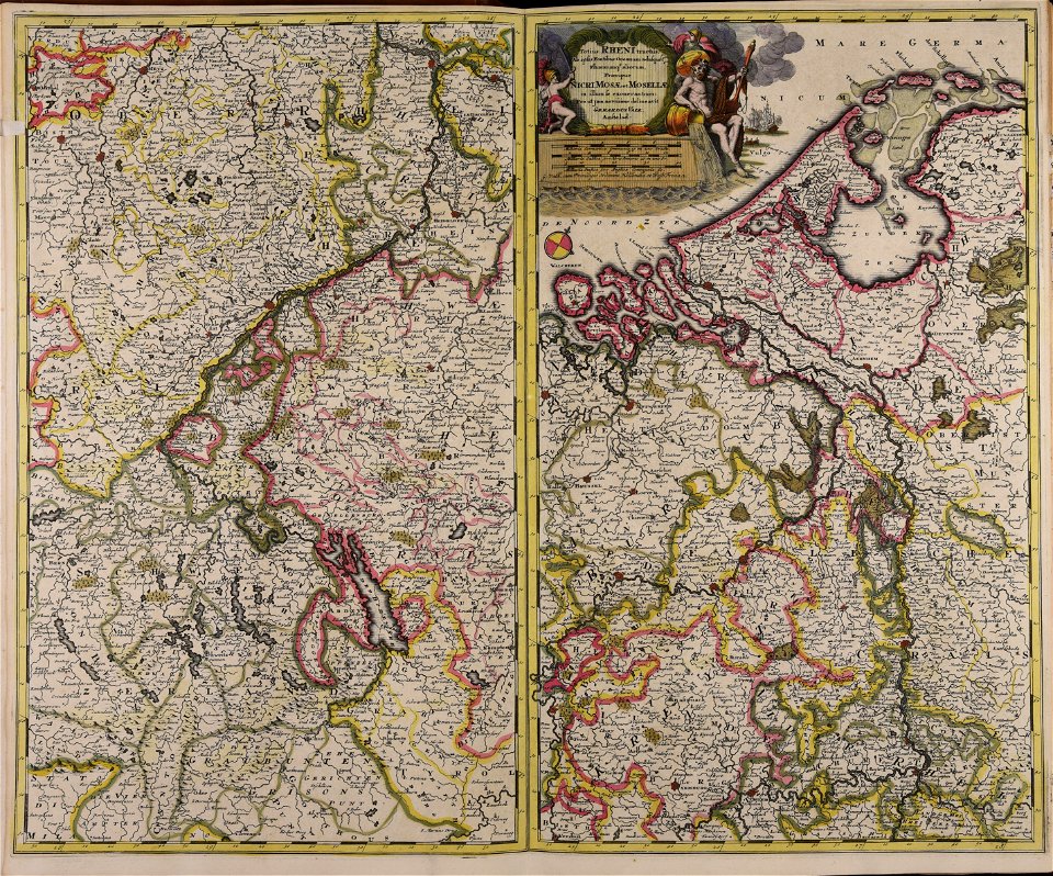
old maps of europe
pieter schenk (i)
atlantis magni tomus quartus (biblioteca comunale di trento)
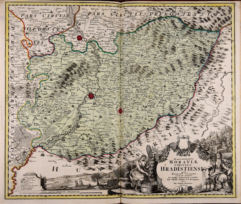
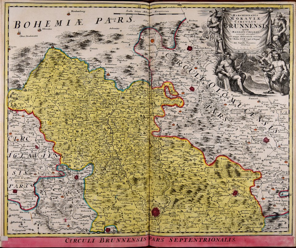
old maps of moravia
maps made in the 18th century
1793
maps made in the 18th century
maps of tartary
maps made in the 18th century
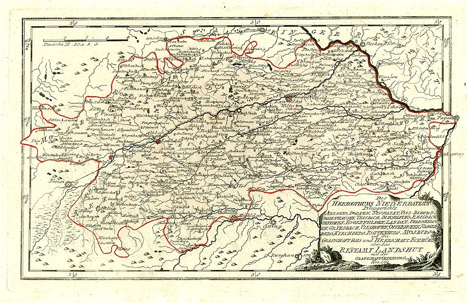
maps of lower bavaria
maps made in the 18th century
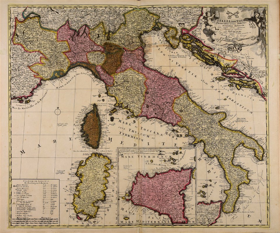
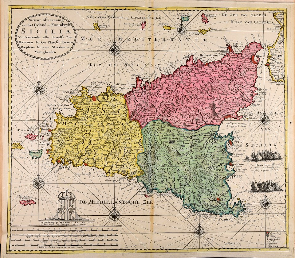
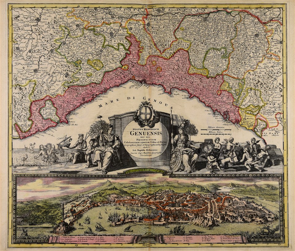
18th-century maps of italy
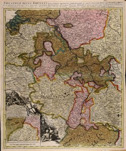
maps of bremen by c. a. heineken
maps made in the 18th century
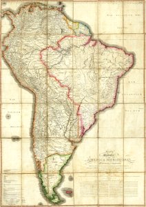
18th-century maps of the spanish empire
maps made in the 18th century
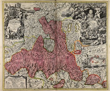
old maps of salzburg (state)
johann baptist homann
atlantis magni tomus quintus (biblioteca comunale di trento)
maps made in the 18th century
maps made in the 18th century
gerard valck
maps made in the 18th century
gerard valck
maps made in the 18th century
old maps of europe
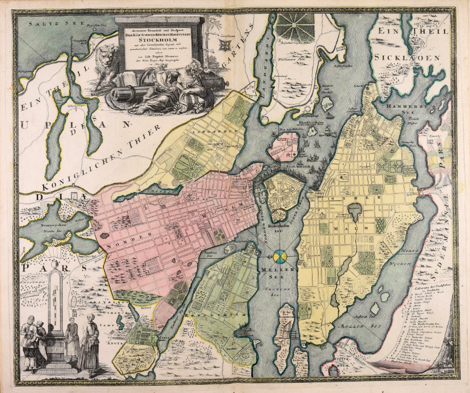
18th-century maps of stockholm
johann baptist homann
maps made in the 18th century
gerard valck
maps made in the 18th century
gerard valck
maps made in the 18th century
johann baptist homann
maps made in the 18th century
johann baptist homann
maps made in the 18th century
gerard valck
atlantis magni tomus tertius (biblioteca comunale di trento)
maps made in the 18th century
maps made in the 18th century
johann baptist homann
18th-century maps of stockholm
veduta
maps made in the 18th century
old maps of europe
maps made in the 18th century
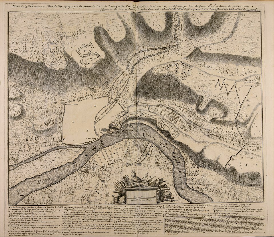
1705
maps made in the 18th century
gerard valck
atlantis magni tomus quartus (biblioteca comunale di trento)
maps made in the 18th century
johann baptist homann
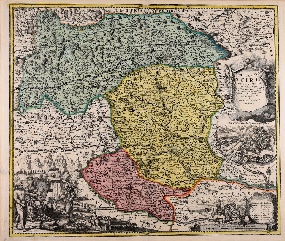
old maps of styria
atlantis magni tomus tertius (biblioteca comunale di trento)
maps made in the 18th century
maps made in the 18th century
johann baptist homann
maps made in the 18th century
old maps of europe
maps made in the 18th century
johann baptist homann
maps made in the 18th century
johann baptist homann
maps made in the 18th century
johann baptist homann
maps made in the 18th century
gerard valck
maps made in the 18th century
johann baptist homann
maps made in the 18th century
johann baptist homann
maps made in the 18th century
gerard valck
maps made in the 18th century
old maps of saxony
maps made in the 18th century
old maps of flanders
maps made in the 18th century
gerard valck
maps made in the 18th century
johann baptist homann
maps made in the 18th century
johann baptist homann
maps made in the 18th century
gerard valck
maps made in the 18th century
johann baptist homann
maps made in the 18th century
gerard van keulen
maps made in the 18th century
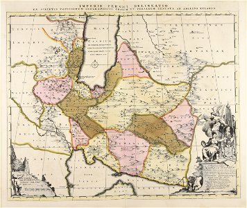
old maps of iran
old maps of the british isles
maps made in the 18th century
atlantis magni tomus quintus (biblioteca comunale di trento)
maps made in the 18th century
atlantis magni tomus quintus (biblioteca comunale di trento)
maps made in the 18th century
atlantis magni tomus quintus (biblioteca comunale di trento)
maps made in the 18th century
maps made in the 18th century
gerard valck
maps made in the 18th century
johann baptist homann
atlantis magni tomus quintus (biblioteca comunale di trento)
topographic maps made in 18th century
maps made in the 18th century
paesi bassi
maps made in the 18th century
gerard valck
old maps of frankfurt am main
johann baptist homann
maps made in the 18th century
old maps of europe
johann baptist homann
old maps of greece
maps made in the 18th century
johann baptist homann
maps made in the 18th century
johann baptist homann
maps made in the 18th century
johann baptist homann
maps made in the 18th century
maps by pieter schenk (i)
maps made in the 18th century
johann baptist homann
maps made in the 18th century
johann baptist homann
maps made in the 18th century
maps by pieter schenk (i)
maps made in the 18th century
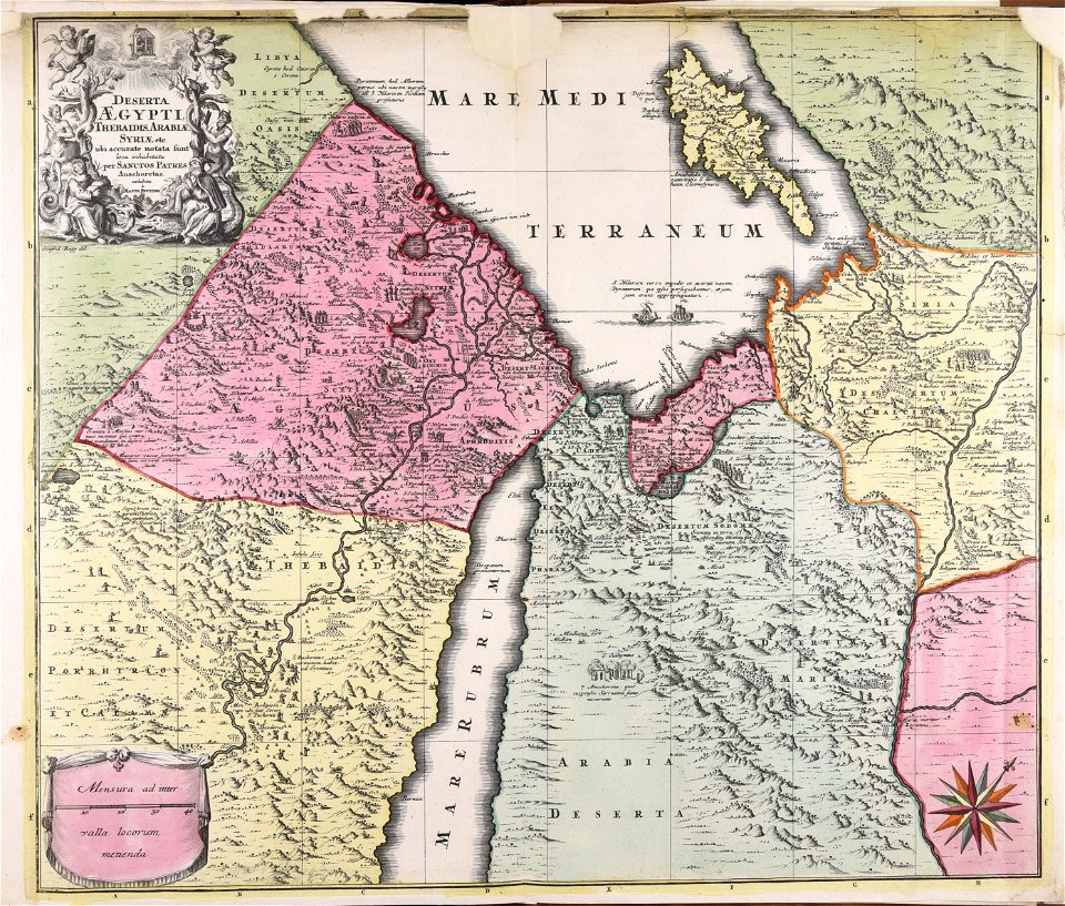
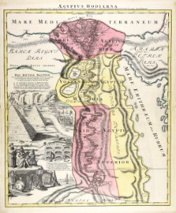
1720s maps of egypt
maps made in the 18th century
belgio
maps made in the 18th century
gerard valck
maps made in the 18th century
gerard valck
maps made in the 18th century
gerard valck
maps made in the 18th century
maps by pieter schenk (i)
johann baptist homann
1720s maps of egypt
maps made in the 18th century
johann baptist homann
maps made in the 18th century
gerard valck
maps made in the 18th century
johann baptist homann
maps made in the 18th century
johann baptist homann
maps made in the 18th century
johann baptist homann
maps made in the 18th century
johann baptist homann
maps made in the 18th century
maps by pieter schenk (i)
maps made in the 18th century
gerard valck
atlantis magni tomus quintus (biblioteca comunale di trento)
maps made in the 18th century
maps made in the 18th century
johann baptist homann
maps made in the 18th century
johann baptist homann
maps made in the 18th century
old maps of europe
maps made in the 18th century
18th-century engravings
maps made in the 18th century
18th-century engravings
maps made in the 18th century
18th-century engravings
maps made in the 18th century
18th-century engravings
maps made in the 18th century
18th-century engravings
maps made in the 18th century
18th-century engravings
maps made in the 18th century
18th-century engravings
maps made in the 18th century
18th-century engravings
maps made in the 18th century
18th-century engravings
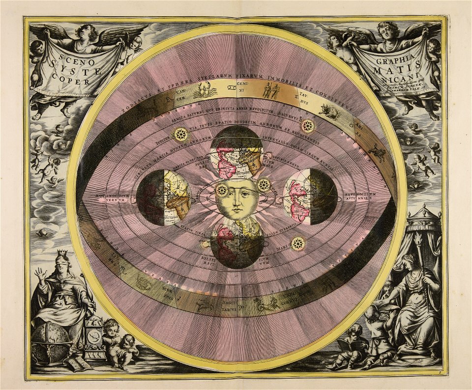
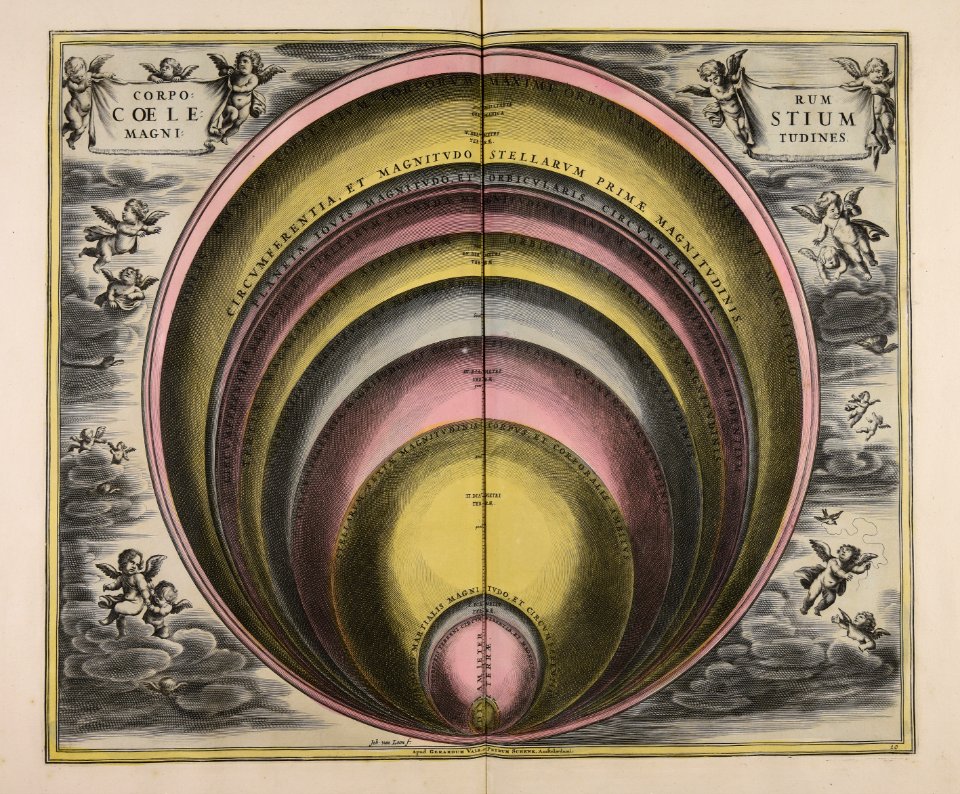
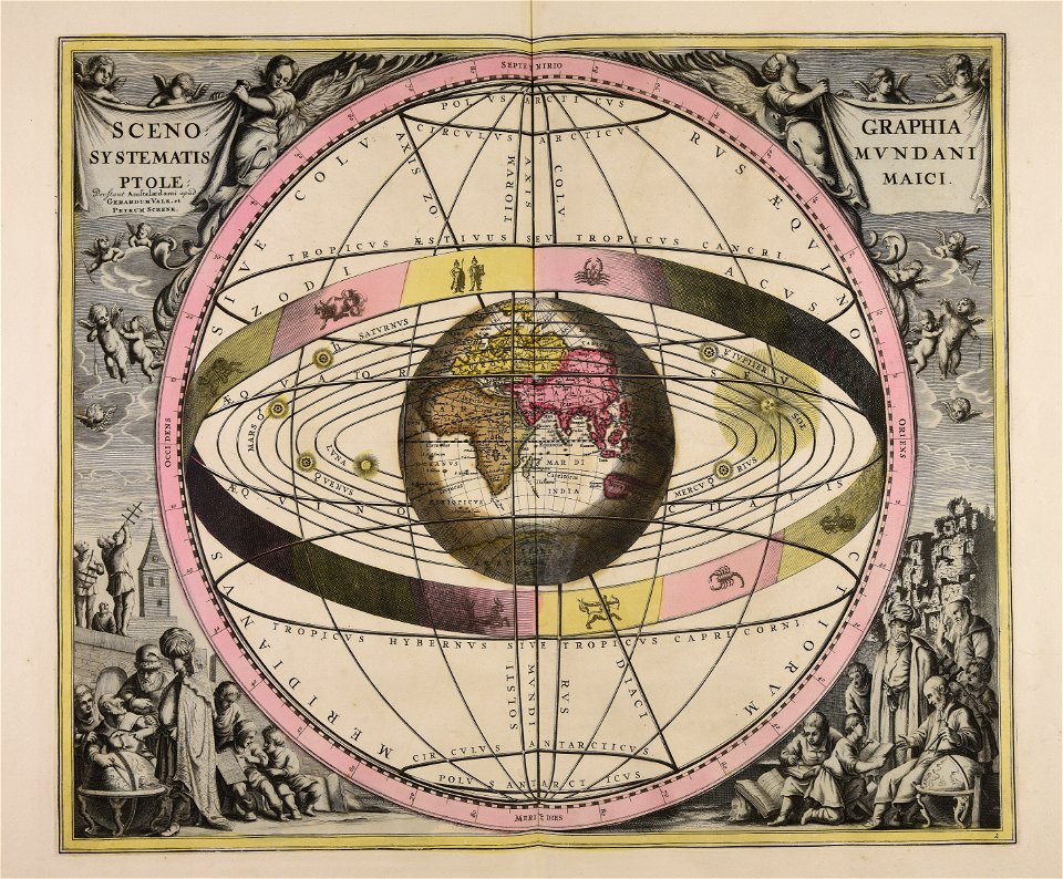
sistema solar
gerard valck
maps made in the 18th century
maps by pieter schenk (i)
maps made in the 18th century
terra santa
atlantis magni tomus quintus (biblioteca comunale di trento)
maps made in the 18th century
maps made in the 18th century
cornelis danckerts (i)
johann baptist homann
maps
maps made in the 18th century
gerard valck
johann baptist homann
sistema solar
johann baptist homann
1717
1 - 100 of 194
Next page
/ 2